Torreya, Spring '06
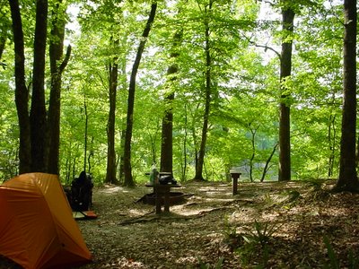
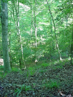
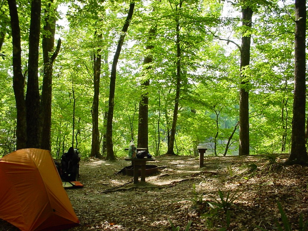
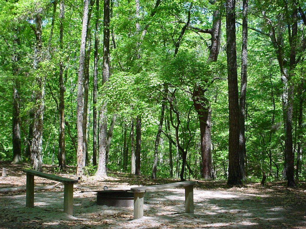
I took Friday off and went to Torreya State Park, about an hour west of here. This time I stayed in the "primitive" backcountry camping area, so I had to severely cut down my "stuff" to fit in a backpack. I still probably took more than I needed, but it was very nice this morning when I could get up, fix breakfast, and pack everything and be ready to go in less than an hour. Here is a picture of my campsite, about a mile from the parking area.
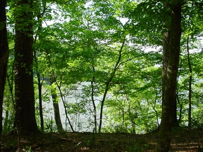
 This was my view from where I ate breakfast and dinner.
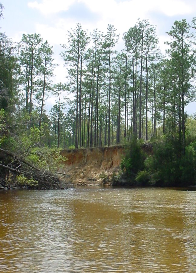
 The west side of Torreya is bound by the Apalachicola River, the largest River in Florida. Here's the Apalachicola at dawn.
 And a little later in the morning, when the sun has come up some.
 Pretty, huh? It all would have been perfect, but for a houseboat on the other side of the river that ran its generator all night long. It sounded as if someone had left a lawn mower running right outside your tent. It wasn't unbearable, but it was annoying. I tried to convince the college boys camped nearby to swim over and cut the gas line but, kids these days, no sense of adventure.
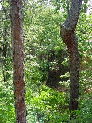
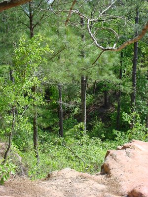
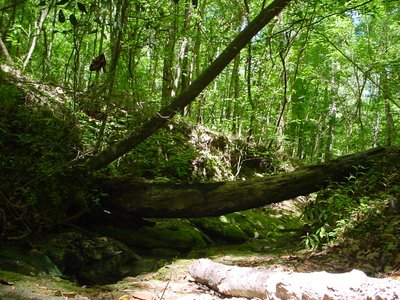
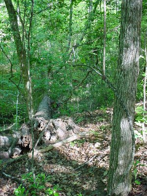
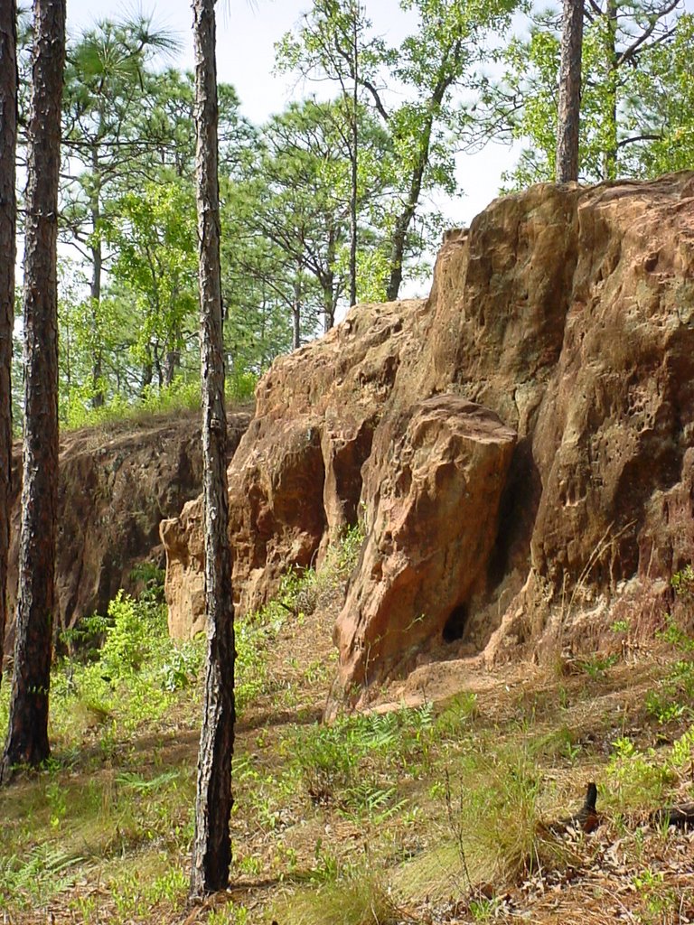
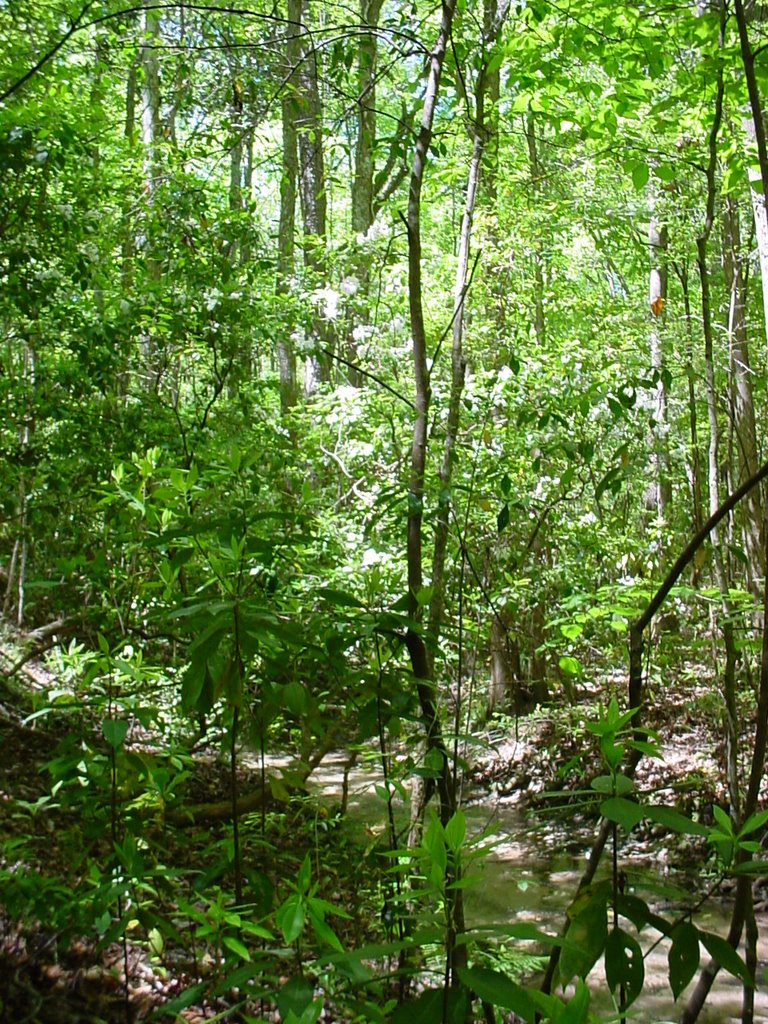
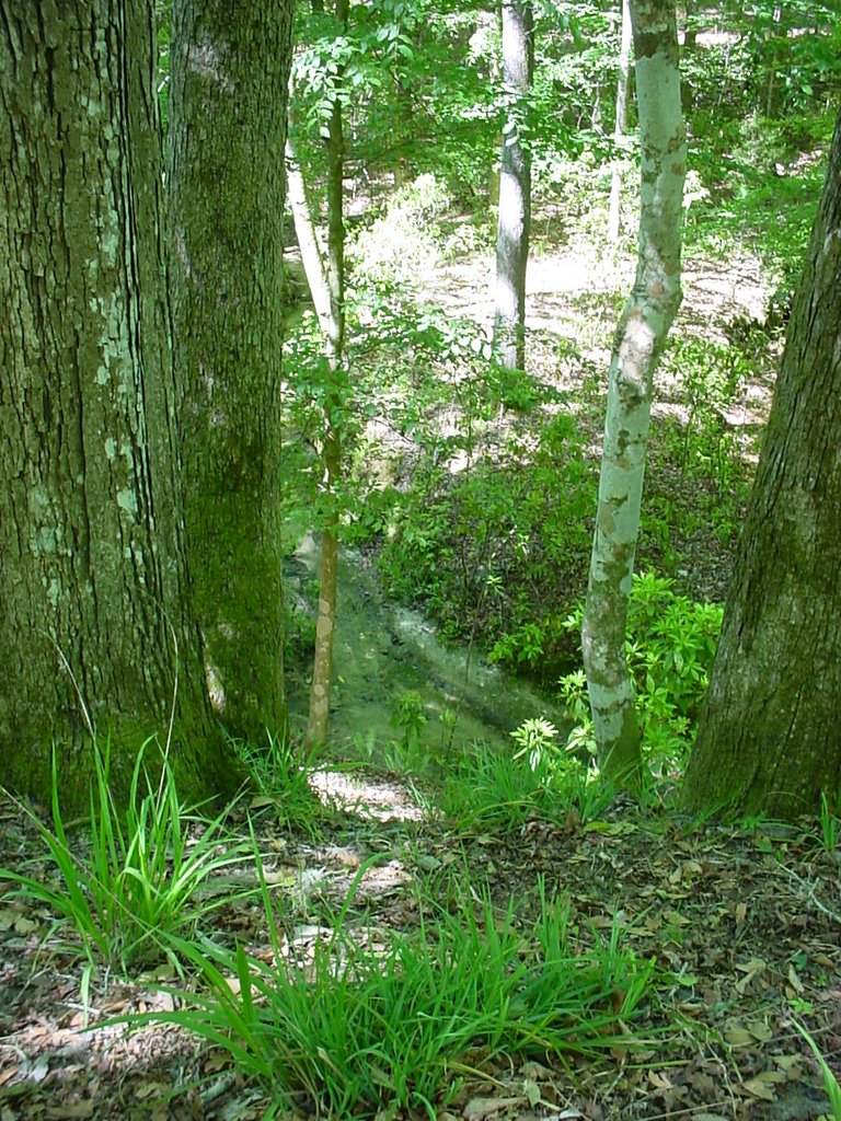
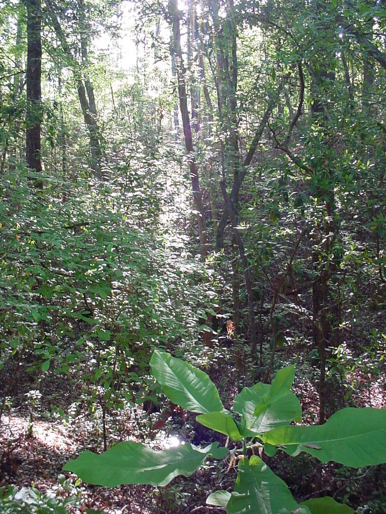
Yesterday I walked both the Torreya Trail and what is called the "Challenge Trail." What makes Torreya unique in Florida is that it has a lot of elevation -- a topo map of the area actually has contour lines! The west side of the Torreya Trail follows the river and has a very tropical feel to it, like I imagine a rainforest might be. The east side of the Torreya Trail and the Challenge Trail are more like the Southern Appalachians. I started by going from my campsite along the trail (not the shortcut) to this washout area that looks like a canyon.

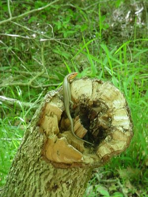
 It's hard to explain to people who haven't been here how amazing it is, and how, about every mile or so, there is an entirely different terrain. Along the trail I saw lots of deer and heard birds and got a photo of two reptiles (although the black snake I encountered was too quick for me to photograph). This guy was one the east side,
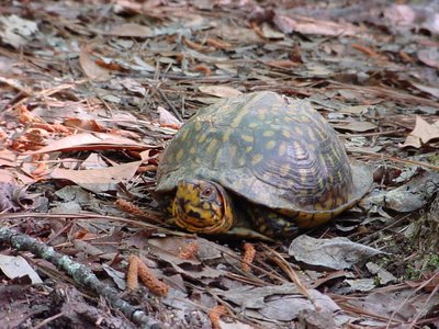 and this one on the west.
 Two things I was looking for were to see if the Ashe Magnolia was in bloom and tuliptree blossoms. Ashe Magnolias are much larger than Southern Magnolias and the blooms are huge and very high in the upper storey. I didn't think I saw any Ashe Magnolia blossoms, and a young man who was studying botany that I spoke to said he didn't think he had seen any either. That just means I will have to go back soon! I also wanted to see the tuliptrees in bloom since last year there was a carpet of tuliptree blossoms on some parts of the trail. They are really beautiful, palmsized, yellow and orange tulip-shaped flowers. This year I saw a few on the ground but none in the trees. The botanist said that is because the blossoms are cupped in green leaves when they are on the tree so it would be hard to see them except from above.
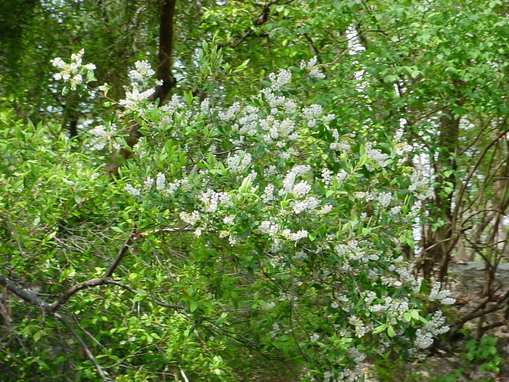
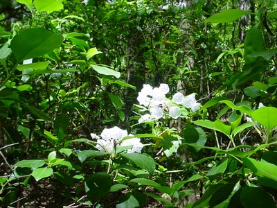
I did see a few of these trees that were in full bloom. They only grew by the streams and there weren't many of them. I'm not sure what they are, but they may be in the haw family. I'm going to keep looking. Here is one shot from a distance (if you click on it to make it full size you can see the blooming tree better) and one close up. They have waxy leaves, like camellias and magnolias, which are spiky at the ends.
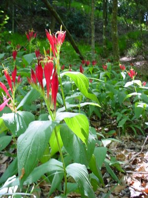
 Along the river, on the west side of the park, was a carpet of these Indian Pinks. They are in the Strychnos family (sounds like a deadly Greek clan, doesn't it?) and Indians used it to expel worms and parasites from the intestines. Yum.
 This is Tread-Softly, a kind of nettle. It was all over the pinewoods on the east side.
 Here is some Florida Anise. At first I thought it was Rhododendron, like you find in north Georgia, but when you crush the leaves you can tell the difference. They were blooming all over on the east side.
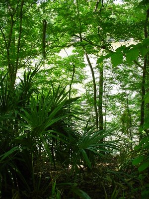
 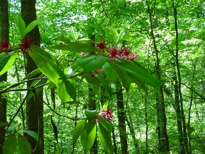 Needle palms along the riverbank.
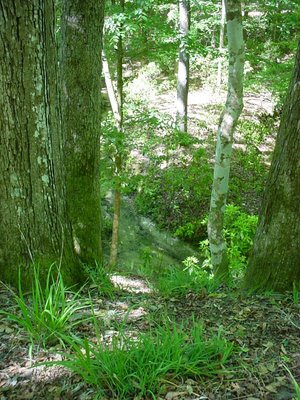
 I'm not sure what this is either. See those weird little bulbs on it? I think those are going to bloom.
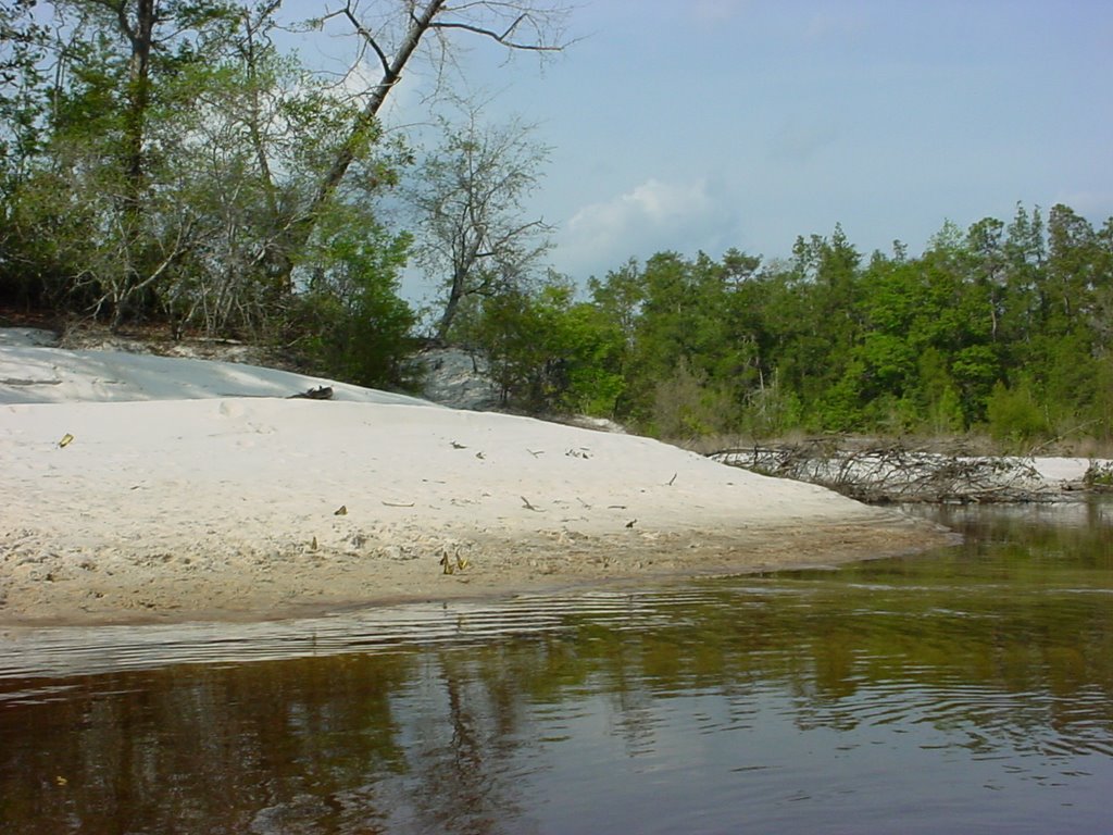
 I took this at one of the other primitive campsites, Rock Creek. It is so dry this year that there was only one small creek here. In the past when I have been here there was plenty of water.
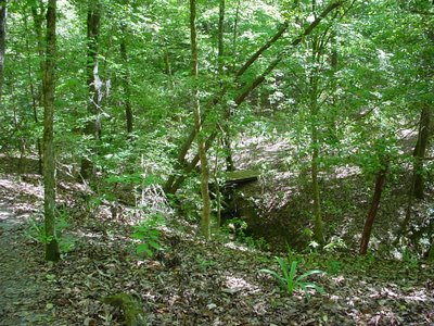
The third primitive campsite, below, is on the Challenge Trail. It's about 5 or 6 miles from the parking area and dry as a bone -- no running water of any sort. I can't imagine why anyone would stay here except, maybe, to dissuade Boy Scouts from ever going back in the woods.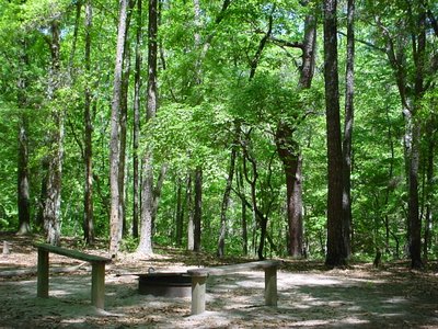 Here's another as yet unidentified tree, a small one close up, and a larger one. They were everywhere on the east side.

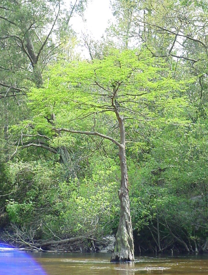
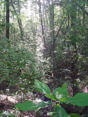
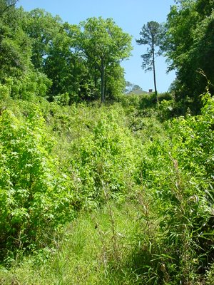
 All in all Saturday I think I must have walked about 16 miles -- each loop is 7 miles and the connectors. Here are some shots along the way -- from east back to my campsite on the west. All the riverbeds are typically 6" - 12" deep, but this year they are almost dry except for a few spots where there was flowing water.
 I think that what most people remember from Torreya is the Gregory House, an antebellum home that was built on the other side of the river and moved across in 1935 by the CCC when they were building the park. Here is the house seen from the riverbank. Look way up, see the rooftop and chimney?
 Here is the river from the house.
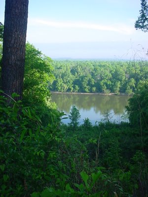 Here is the house from the backyard.
 And the front.
 This is actually all I've ever seen of the Gregory House. I have never taken the tour. Maybe next time.
Finally, one of my favorite wildflowers, phlox. There was just this one perfect stem. I was glad I had my camera so I could bring it home to share.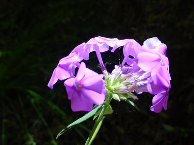
 This was my view from where I ate breakfast and dinner.
 The west side of Torreya is bound by the Apalachicola River, the largest River in Florida. Here's the Apalachicola at dawn.
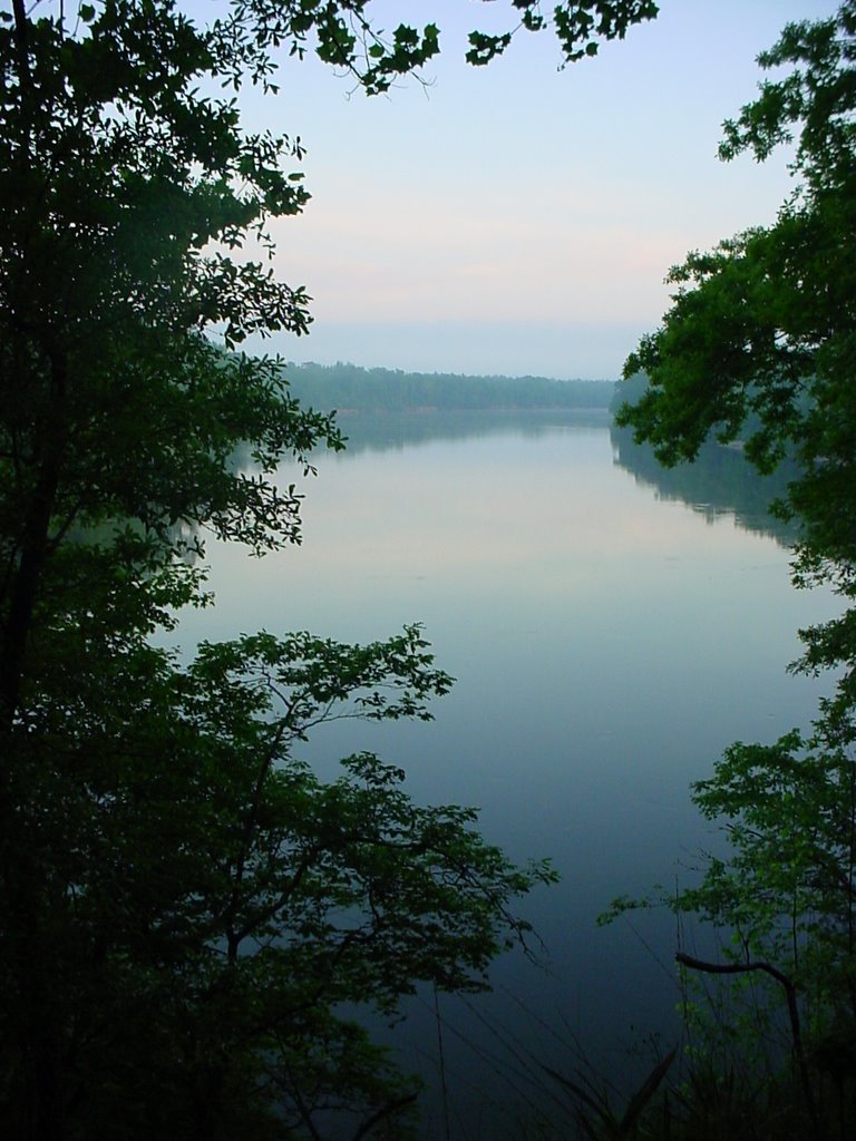 And a little later in the morning, when the sun has come up some.
 Pretty, huh? It all would have been perfect, but for a houseboat on the other side of the river that ran its generator all night long. It sounded as if someone had left a lawn mower running right outside your tent. It wasn't unbearable, but it was annoying. I tried to convince the college boys camped nearby to swim over and cut the gas line but, kids these days, no sense of adventure.
Yesterday I walked both the Torreya Trail and what is called the "Challenge Trail." What makes Torreya unique in Florida is that it has a lot of elevation -- a topo map of the area actually has contour lines! The west side of the Torreya Trail follows the river and has a very tropical feel to it, like I imagine a rainforest might be. The east side of the Torreya Trail and the Challenge Trail are more like the Southern Appalachians. I started by going from my campsite along the trail (not the shortcut) to this washout area that looks like a canyon.

 It's hard to explain to people who haven't been here how amazing it is, and how, about every mile or so, there is an entirely different terrain. Along the trail I saw lots of deer and heard birds and got a photo of two reptiles (although the black snake I encountered was too quick for me to photograph). This guy was one the east side,
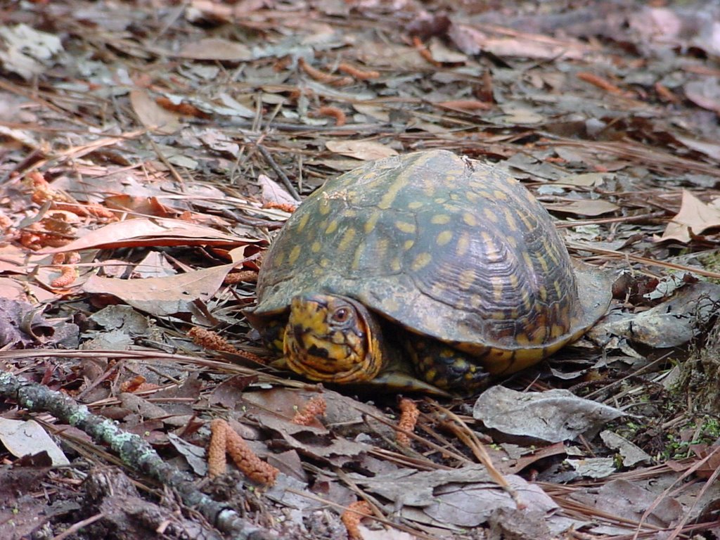 and this one on the west.
 Two things I was looking for were to see if the Ashe Magnolia was in bloom and tuliptree blossoms. Ashe Magnolias are much larger than Southern Magnolias and the blooms are huge and very high in the upper storey. I didn't think I saw any Ashe Magnolia blossoms, and a young man who was studying botany that I spoke to said he didn't think he had seen any either. That just means I will have to go back soon! I also wanted to see the tuliptrees in bloom since last year there was a carpet of tuliptree blossoms on some parts of the trail. They are really beautiful, palmsized, yellow and orange tulip-shaped flowers. This year I saw a few on the ground but none in the trees. The botanist said that is because the blossoms are cupped in green leaves when they are on the tree so it would be hard to see them except from above.
I did see a few of these trees that were in full bloom. They only grew by the streams and there weren't many of them. I'm not sure what they are, but they may be in the haw family. I'm going to keep looking. Here is one shot from a distance (if you click on it to make it full size you can see the blooming tree better) and one close up. They have waxy leaves, like camellias and magnolias, which are spiky at the ends.
 Along the river, on the west side of the park, was a carpet of these Indian Pinks. They are in the Strychnos family (sounds like a deadly Greek clan, doesn't it?) and Indians used it to expel worms and parasites from the intestines. Yum.
 This is Tread-Softly, a kind of nettle. It was all over the pinewoods on the east side.
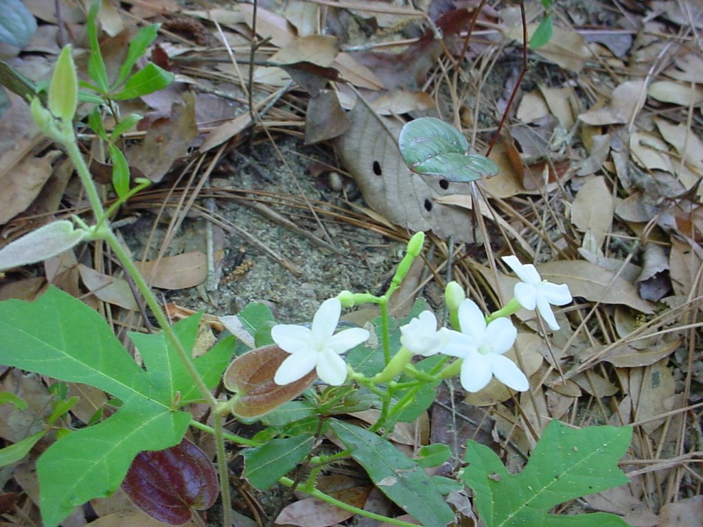 Here is some Florida Anise. At first I thought it was Rhododendron, like you find in north Georgia, but when you crush the leaves you can tell the difference. They were blooming all over on the east side.
  Needle palms along the riverbank.
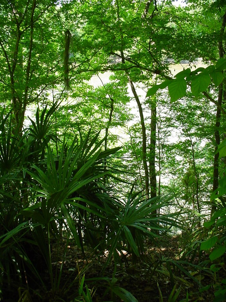 I'm not sure what this is either. See those weird little bulbs on it? I think those are going to bloom.
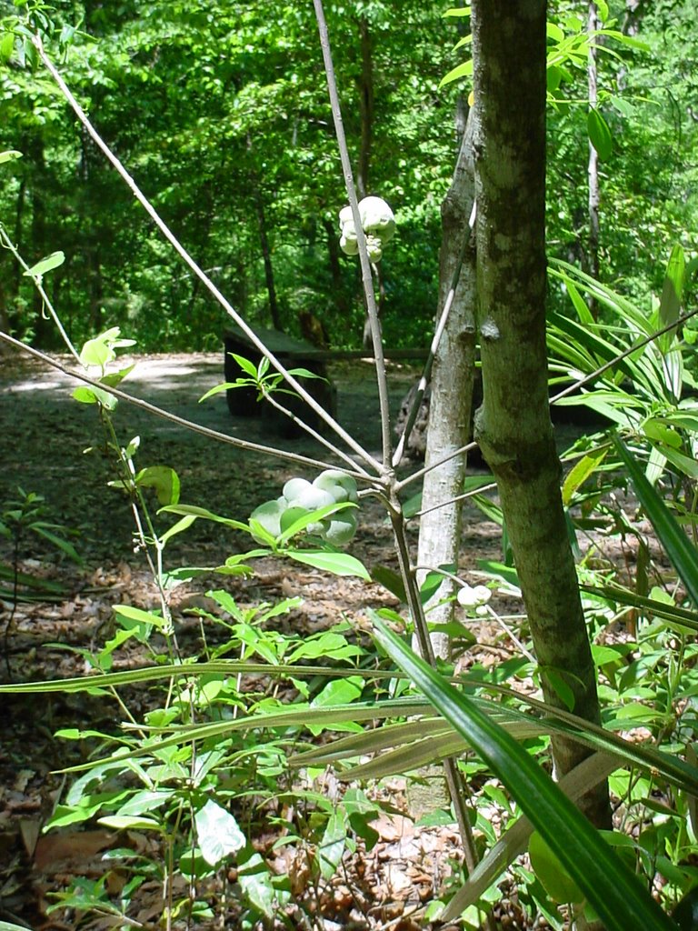 I took this at one of the other primitive campsites, Rock Creek. It is so dry this year that there was only one small creek here. In the past when I have been here there was plenty of water.
The third primitive campsite, below, is on the Challenge Trail. It's about 5 or 6 miles from the parking area and dry as a bone -- no running water of any sort. I can't imagine why anyone would stay here except, maybe, to dissuade Boy Scouts from ever going back in the woods.
 Here's another as yet unidentified tree, a small one close up, and a larger one. They were everywhere on the east side.
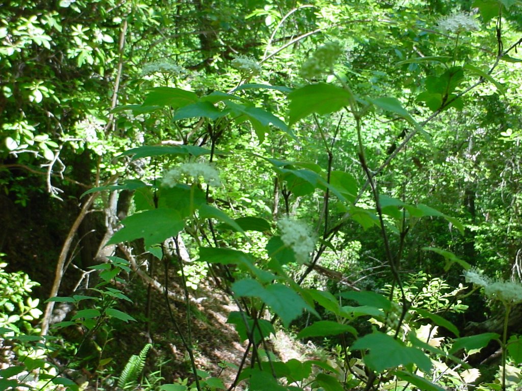
 All in all Saturday I think I must have walked about 16 miles -- each loop is 7 miles and the connectors. Here are some shots along the way -- from east back to my campsite on the west. All the riverbeds are typically 6" - 12" deep, but this year they are almost dry except for a few spots where there was flowing water.


 I think that what most people remember from Torreya is the Gregory House, an antebellum home that was built on the other side of the river and moved across in 1935 by the CCC when they were building the park. Here is the house seen from the riverbank. Look way up, see the rooftop and chimney?
  Here is the river from the house.
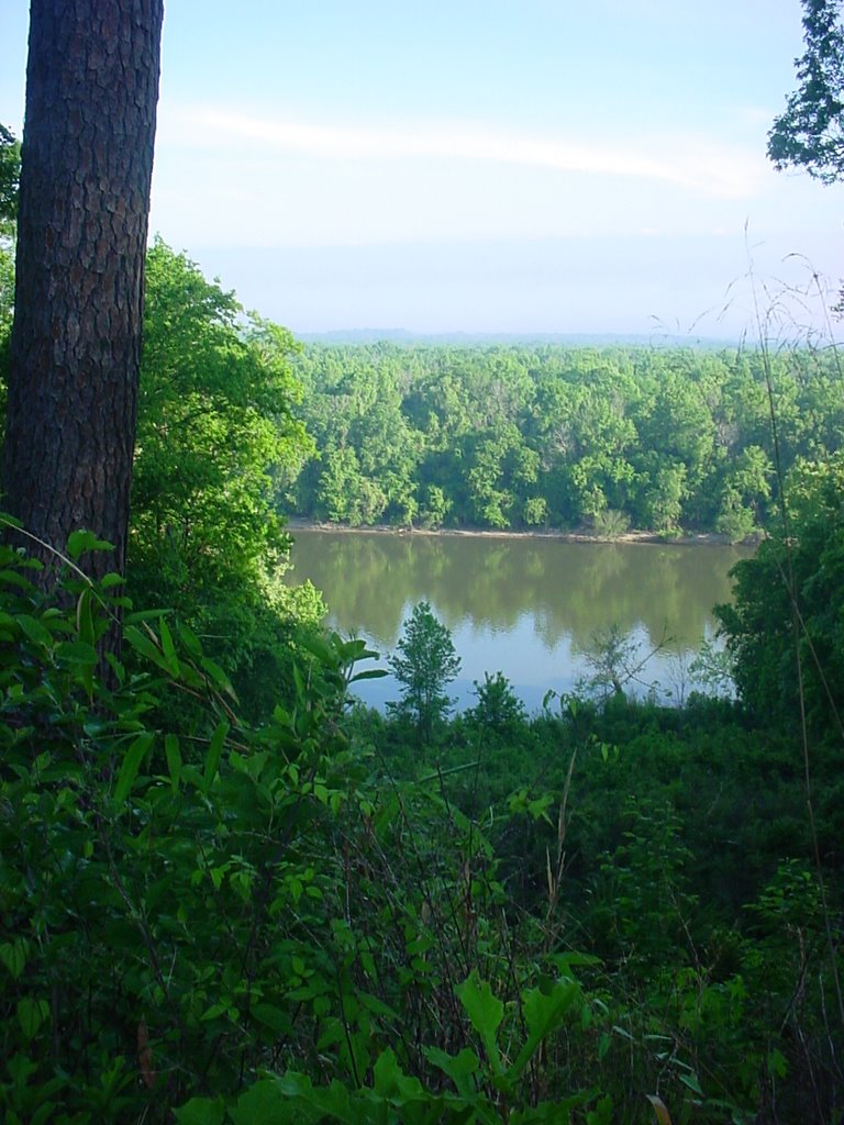 Here is the house from the backyard.
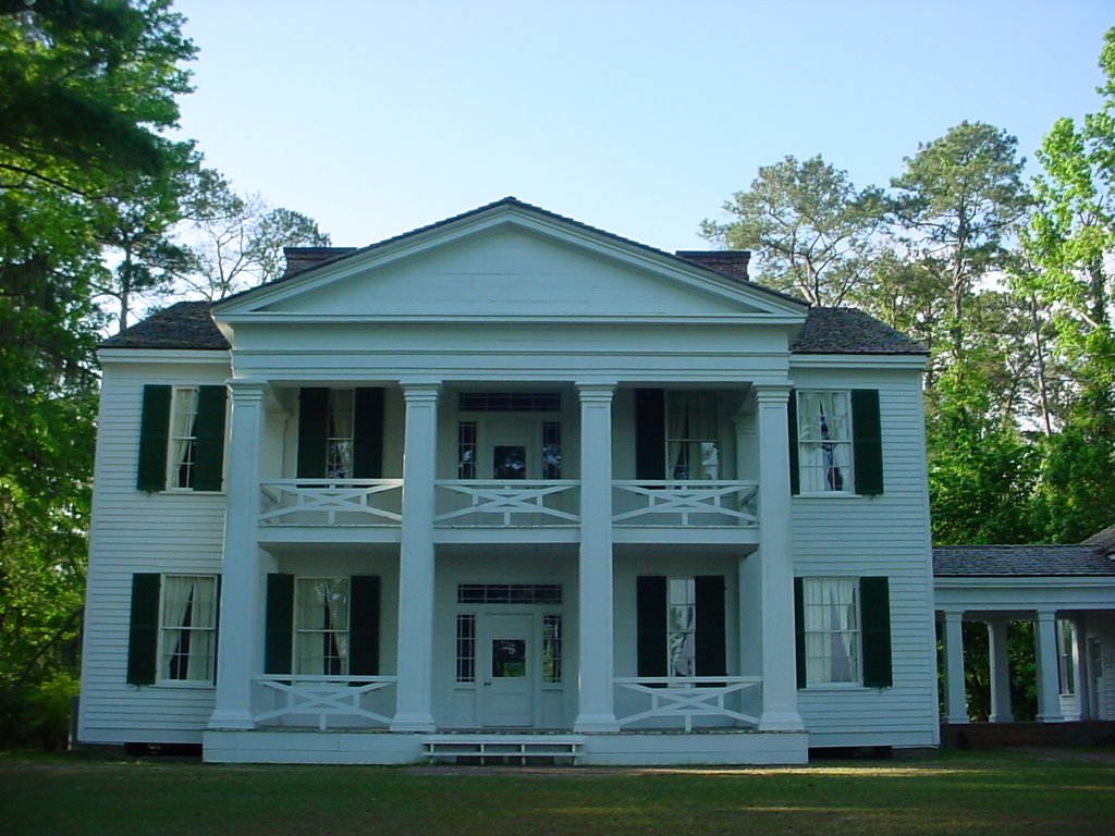 And the front.
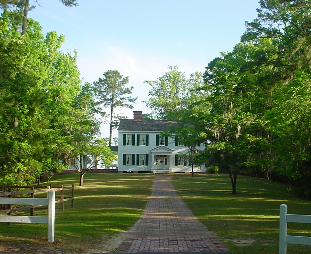 This is actually all I've ever seen of the Gregory House. I have never taken the tour. Maybe next time.
Finally, one of my favorite wildflowers, phlox. There was just this one perfect stem. I was glad I had my camera so I could bring it home to share.

posted by Martha at 11:33 AM
0 comments
![]()
![]()